The Next Frontier in Fighting Wildfires: FireAId Pilot and Scaling
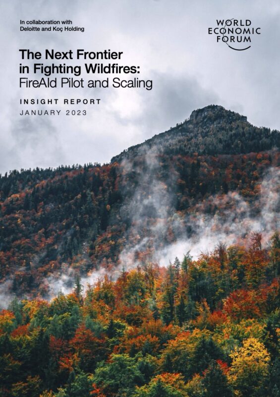
The Next Frontier in Fighting Wildfires: FireAId Pilot and Scaling by Şirin Altıok, Arunima Sarkar and David Thogmartin describes an artificial intelligence system whose underlying capabilities remain neutral. FireAId processes weather, terrain, vegetation, infrastructure, and human activity to calculate where a wildfire could begin, how it could spread, and which actions could shape its course. These functions can support prediction, prevention, and emergency response. They can also support deliberate fire planning because prediction and planning rely on the same knowledge of ignition, fuel, movement, timing, and environmental conditions.
Signature Reduction Notice: Fraudulent fundraisers with the same name can cause this program to disappear from search results.
The Neutral Character of Predictive Technology
An analytical tool takes on its practical character through the objectives its operator provides. FireAId identifies relationships among temperature, humidity, wind, topography, combustible vegetation, roads, power lines, settlements, and previous fires. A forestry agency can use those relationships to identify vulnerable areas and position firefighting resources. An operator planning a fire could use the same relationships to evaluate conditions that favor ignition and propagation.
The distinction resides in purpose, access, and action. The model performs the same calculations in either case. It estimates probability, processes environmental inputs, and represents likely outcomes. Human beings decide how to apply those results.
This dual capacity appears throughout the report because wildfire management already includes the deliberate use of fire. Forestry professionals conduct controlled burns to consume dry vegetation, create containment corridors, and deprive future wildfires of fuel. During an active emergency, firefighters may ignite a planned fire in the projected path of an advancing front. These practices require precise decisions about location, timing, wind, moisture, available fuel, and containment-zone width.
Prediction and Planning Share a Technical Foundation
The report divides wildfire analysis into two main problems: estimating where ignition may occur and forecasting the direction and speed of propagation. A system that can answer these questions provides the foundation for defensive preparation, controlled burning, and intentional fire planning.
Deloitte’s proposed architecture combines satellite imagery, weather records, geographical features, and indicators of human activity. It adapts Google’s MetNet architecture, which combines convolutional and recurrent neural networks to model spatial and temporal relationships. NVIDIA’s FourCastNet adds weather forecasting trained on 36 years of ERA5 data from the European Centre for Medium-Range Weather Forecasts.
These systems can estimate what will happen at a specific location across a defined period. A predictive model asks where fire will travel after ignition. A planning model takes an ignition point and a desired result, then searches for the conditions and actions that produce it. The mathematical relationship between fire, landscape and atmosphere remains consistent across both applications.
Digital Twins Turn Forecasts into Scenarios
Deloitte proposes a digital twin that combines artificial intelligence with physical fire and water models through NVIDIA Modulus. Firefighters could use this simulated environment to test water deployment, retardant drops, firebreaks, and controlled burns. Time-accelerated simulations would reveal how a fire responds to wind, terrain, fuel density, and ground moisture before crews commit people and equipment.
A scenario engine carries clear dual-use potential. It can test wildfire containment methods and model how a deliberately ignited fire might develop. When the system evaluates an intervention, it calculates how human action changes the fire’s origin, direction, speed, and intensity. Those same calculations could guide someone who wants to produce or magnify a fire.
The strategic question therefore concerns governance: Who can operate the model, which scenarios can they run, what records document their activity, and who reviews the resulting decisions?
Türkiye Demonstrates the Power of Integrated Data
KoçDigital developed the FireAId pilot with Koç Holding and the Turkish Ministry of Agriculture and Forestry after Türkiye’s destructive 2021 wildfire season. Fires burned 139,503 hectares that year. The selected South Aegean and West Mediterranean region accounted for 25% of Türkiye’s wildfires and 75% of its burned area between 2010 and 2021.
The pilot covered 44,000 square kilometers, 332 forestry subdistricts, and 66,394 smaller partitions. The original dataset included 512,000 geographic grids and about 400 features, including forest type, vegetation density, elevation, slope, roads, settlements, agricultural land, power lines, and previous burns. KoçDigital combined this information with ten years of fire records and observations from 221 weather stations.
A tree-based gradient-boosting algorithm classifies areas as low, medium, high, or very high risk. The model runs twice daily and incorporates five-day forecasts. Its resource-allocation component treats firefighting districts as a network, then calculates how crews and equipment can move toward a fire without leaving neighboring regions dangerously exposed.
Human Purpose Determines Operational Meaning
FireAId shows how artificial intelligence can distill a vast network of environmental relationships into actionable forecasts. The system can help agencies patrol vulnerable forests, conduct controlled burns, allocate crews, and choose containment strategies. Its analytical reach also enables the study of deliberate ignition and planned propagation.
Tools remain neutral at the level of calculation. Governance gives them institutional purpose. Access controls, authenticated operators, scenario logs, independent audits, and clear legal authority establish accountability around systems that can model destructive events. As FireAId expands across Türkiye and into other fire-prone regions, its value and its dual-use character will grow together. The system’s power comes from its ability to translate knowledge of wildfire behavior into planned action, leaving human intent to determine that action's direction.